May 22 – Written By Michael Sparks
Under Water And Under Pressure
A new study by the National Oceanic and Atmospheric Administration provides updated evidence that coastal sea levels are expected to rise as much in the next 30 years as they did in the previous 100, creating a massive challenge for coastal national parks.
The National Park Service is facing a water conundrum: some parks have too little, some parks have too much. While an historic drought continues to parch much of the western United States, a new report from the National Oceanic and Atmospheric Association predicts that sea levels across the United States will rise, on average, 10-12 inches by 2050. In other words, from Maine to Florida to Texas and all the way up to Alaska, there are more than 100 national park units threatened by the slow siege of rising coastlines.
The 2022 Sea Level Rise Technical Report, published by NOAA but created by the U.S. Sea Level Rise and Coastal Flood Hazard Scenarios and Tools Interagency Task Force, which includes researchers from FEMA, the Environmental Protection Agency, and others, is an update to a previous study published in 2017.
The 2022 version represents a significant increase in confidence in the researchers’ estimates of potential ranges of rise because of advances in sea level science and because of the novel use of multiple lines of evidence: models of future sea level rise and trends in the amount of rise already observed are both used and closely match each other over the next 30 years.
The key takeaway from the report is this: regardless of future emissions, the researchers have high confidence that sea levels will rise within a narrow range across the country: 10-14 inches along the East Coast; 14-18 inches along the Gulf and 8-10 inches in some parts of Alaska.
The Park Service used NOAA’s 2017 report to inform its own Sea Level Rise and Storm Surge Projections study, with the goal of providing park managers the information they need to adapt to a more flooded future. As the authors of that report write, “Today’s managers of these parks face new challenges—challenges unimagined by builders of the forts and lighthouses within them, challenges unprecedented for the species that inhabit them, and challenges unanticipated by those who secured these places as part of the National Park System.”
Larry Perez, spokesperson for the Park Service’s Climate Change Response Program, told the Traveler that there are no plans to update that study on the basis of the new data from NOAA simply because park managers have enough information already to make any necessary decisions.
At Gulf Islands National Seashore, for instance, Susan Teel, the park’s public information officer, told the Traveler that the park doesn’t do any specific sea level monitoring itself as “NOAA and other organizations are providing that data.”
Nonetheless, that isn’t stopping the park, located along Florida and Mississpi’s Gulf Coasts, one of the most imperiled regions in the country, according to NOAA’s Sea Level Rise Technical Report, from planning ahead.
“Impacts from future sea-level rise are of great concern,” said Teel. The threats leave almost no area of the park untouched, including “shoreline erosion, saltwater intrusion into groundwater aquifers, inundation of wetlands and estuaries, and threats to cultural and historic resources as well as infrastructure,” she said.
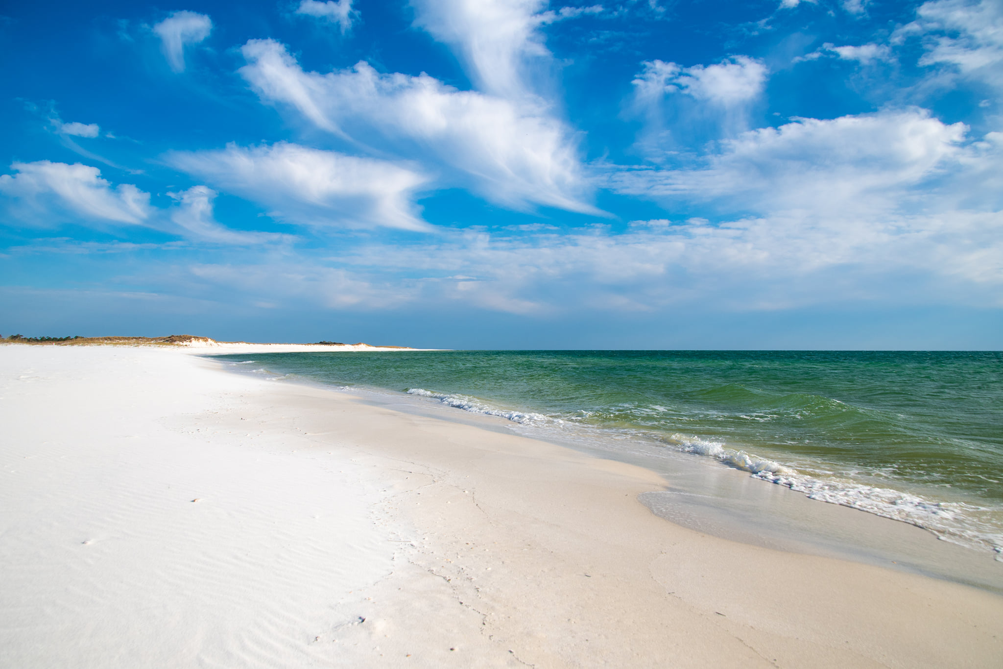
With so much on the line, the park has completed multiple vulnerability studies to identify high-risk areas and propose adaptation strategies. Those studies, combined with the Park Services’ climate change and coastal adaptation resources, give Gulf Islands plenty of firepower to protect the park as much as possible.
Similarly, park managers at Assateague Island National Seashore are trying to protect the island in a variety of ways.
As sea levels rise around Assateague, on Maryland’s Atlantic coast with a slight abutment in Virginia, they increase the salinity of the nutrient-rich coastal waters and marshes surrounding the island, particularly of Sinexupent Bay, on the barrier island’s west side. These areas tend to receive lots of freshwater runoff from the mainland, and the combination of salt and freshwater creates a delicate balance that continually recharges the ecosystem and supports marine life.
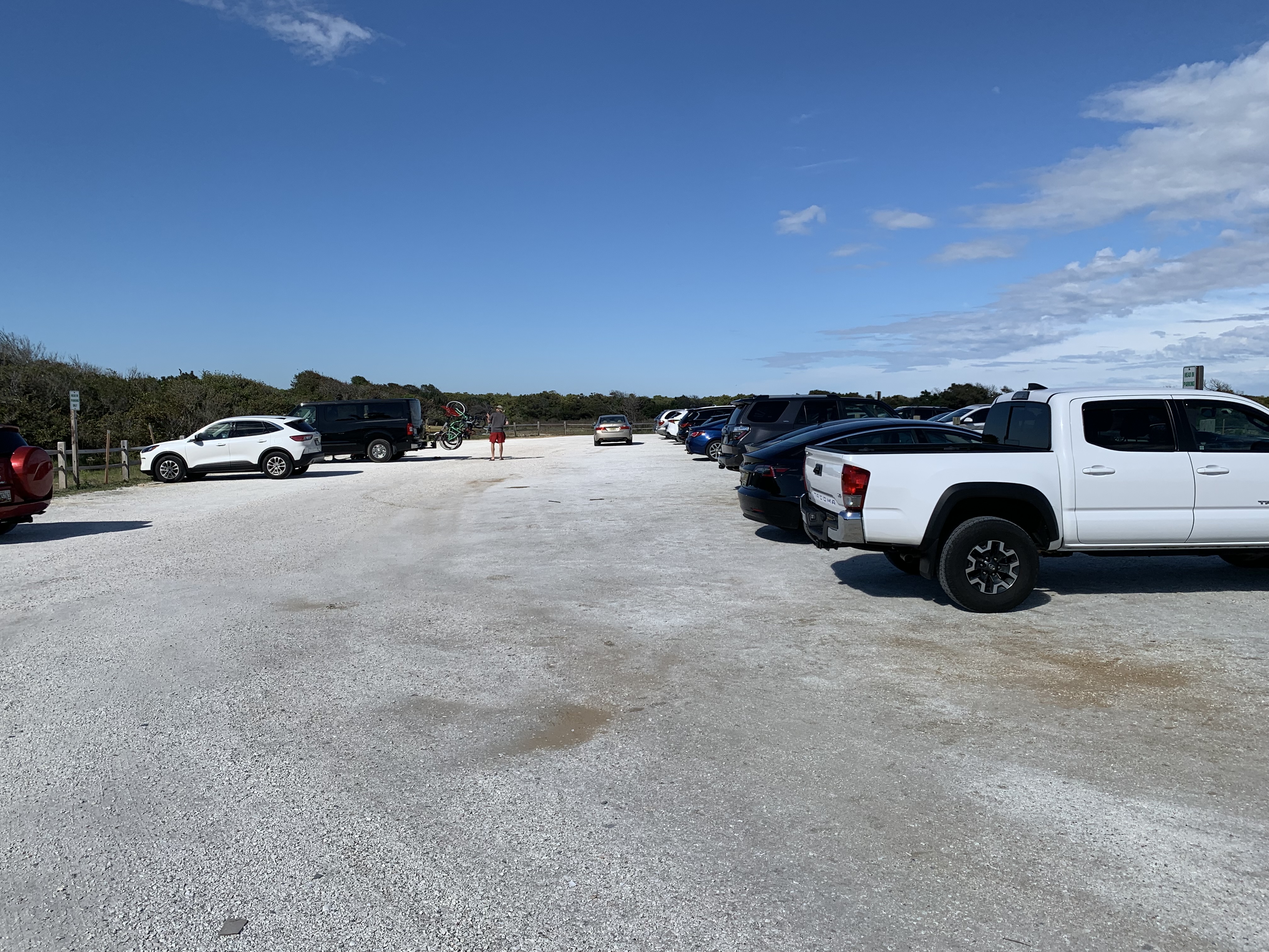
“Our approach has been building a more healthy ecosystem, which makes the island more resilient,” Bill Hulslander, Assateague’s chief of resources has said previously. In a well-known example, Assateague now builds parking lots and roads from island-compatible materials: a clay base with clam shell surface. These more natural lots are dug up and reused when the lot is moved or overwashed, and also avoid introducing toxic foreign debris (aka asphalt) into post-storm habitats.
And as the island continues to handle the uncertainties that come with managing an always-moving barrier island right that is receding more under water every single day, the biggest challenge might be one of the most basic: “I would say our biggest issue, over the long term, will be maintaining visitor access to all the recreational activities that Assateague has to offer,” Hulslander told the Traveler in a recent email.
At Cape Hatteras National Seashore in North Carolina, sea level rise is not just limiting recreational opportunities, it is also causing serious damage to the local community.
That is starting to change. The Land and Water Conservation Fund is the main source parks use to acquire lands and The Great American Outdoors Act, passed in 2020, guarantees it at least $900 million in annual funding. That funding allows parks a level of certainty they haven’t had before and is a “game changer,” says Amy Lindholm, Land and Water Conservation Fund Coalition manager and northeast regional coordinator at the Appalachian Mountain Club.
In February, a beach home in Rodanthe (a small town along the seashore) collapsed directly into the Atlantic Ocean. “Within a couple of hours, our staff were already observing debris from the collapsed home more than seven miles from the site,” Dave Hallec, National Parks of Eastern North Carolina superintendent, told Traveler Editor-in-Chief Kurt Repanshek during a podcast interview earlier this year.
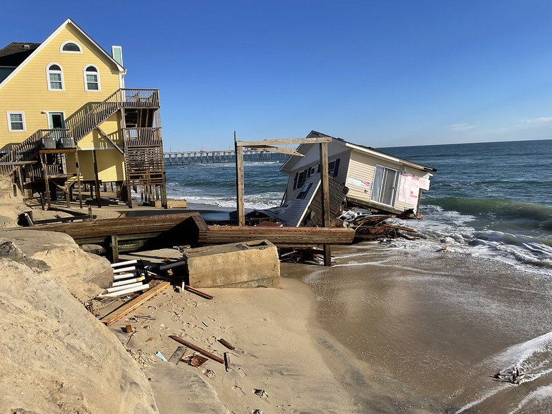
Obviously, sea-level rise does not occur in a vacuum and this particular house did not collapse entirely because of it. Erosion and the natural processes of a barrier island (of which Cape Hatteras is one) and details unique to this house all played a role. But there is no denying the slow creep of the ocean right into residents’ backyards.
Recounting a story of being shown a photograph of the area in the early 1980s by a neighbor who lived adjacent to the collapsed house, Hallec said: “He showed me a photo of the view, you could see plenty of dry sand backyard, then a massive sand dune, and you could barely see the water behind it, so it was just a completely different situation” compared to now, when “many of these homes in this neighborhood have no dry sand beach in front of them and that makes them extremely vulnerable.”
Old houses directly exposed to the ocean does not a safe situation make. “We expect more and more of these homes to collapse any day now,” Hallec said.
(On May 10th, Cape Hatteras announced that another house had collapsed into the ocean.)
Although the authors of the technical report explicitly state that it is not intended as guidance for any specific project the study’s relatively narrow estimates make it clear that–whatever progress the outside world does or does not make towards mitigating the climate crisis–park managers would be wise to act now to adapt to an encroaching coastline.
This article was originally published on National Parks Traveler